About This Quiz
The Merriam-Webster Dictionary defines geography as "a science that deals with the description, distribution and interaction of the diverse physical, biological and cultural resources of the earth's surface." (For our purposes, this includes the features of the earth's crust located under bodies of water as well.)Â
This means that geography is a very broad area of study. It encompasses landforms (think mountains, valleys, plateaus, caves) as well as bodies of water (think oceans, seas, and rivers). Geography also includes the arbitrary, human-made distinctions and delineations we draw on our maps. Country borders, for instance. The location of cities within countries (and with respect to the landforms) and the characteristics of these cities. All those invisible, straight lines that you see drawn on a globe such as longitude lines, latitude lines, the Equator and more.Â
How well acquainted are you with the planet we live on? Can you name the biggest deserts and the deepest oceans? What about the largest country or most populated city? Do you know where the Great Barrier Reef is, or how many animal species live in the Amazon Rain Forest? If you don't, take this quiz! You'll soon have mountains of geographic knowledge under your belt.
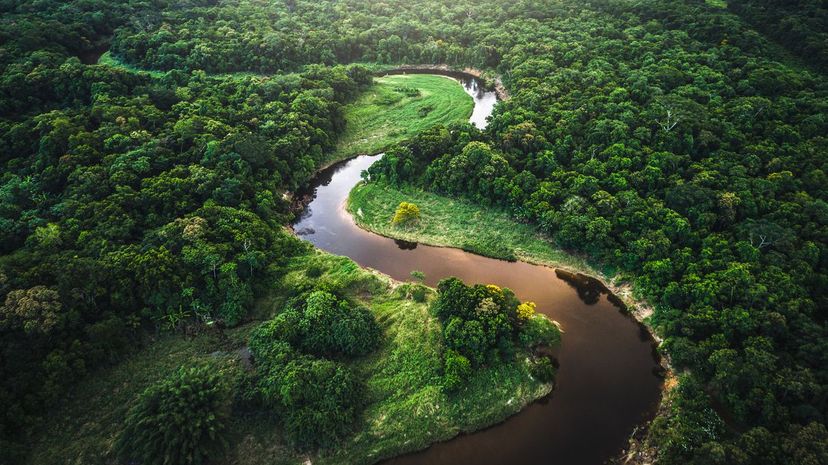
The Amazon River is almost 4,000 miles long. According to the Encyclopedia Britannica, it's home to at least 2,500 species of fish, with many more yet unidentified. Flesh-eating piranhas are some of the river's more notorious inhabitants.
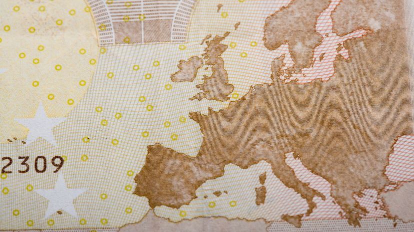
Europe's countries range from tiny Vatican City (an independent state contained within the city of Rome) to sprawling Russia, which extends onto the Asian continent as well as the European one. Kazakhstan, Turkey, Azerbaijan and Georgia also span both continents. The total number of countries in Europe is disputed because some states have declared independence but aren't recognized by all other countries.

According to the US Census Bureau, China's population was about 1.389 billion in July 2019. India came in second with 1.312 billion, and the US came in third with 0.332 billion (aka 332 million).
Advertisement
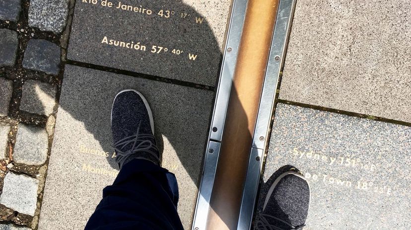
The Prime Meridian is the line of longitude at zero degrees. (Longitude lines run vertically on the map, whereas latitude lines - like the Equator - run horizontally.) It's an arbitrary line that marks where "time starts." Historically, world clocks have been based on the time kept by the Royal Observatory in Greenwich, England.
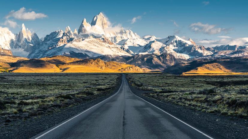
Lambert-Fisher is the world's largest glacier and can be found in Antarctica. Mount Everest is the highest mountain if we're going by elevation above sea level. Still, if we're going by "farthest from the center of the Earth," the title belongs to Mount Chimborazo in Ecuador since the Earth bulges out at the Equator. If we're looking at the mountain with the greatest distance between its base and summit, Mauna Kea, a partially-submerged dormant volcano in Hawaii, takes the cake.
With a surface area of approximately 63 million square miles, the Pacific Ocean covers about a third of the Earth. It's more than double the area of the Atlantic Ocean, which is "the next largest division of the hydrosphere," as the Encyclopedia Britannica puts it. The Pacific is also the deepest ocean, with a maximum depth of about 36,200 feet.
Advertisement
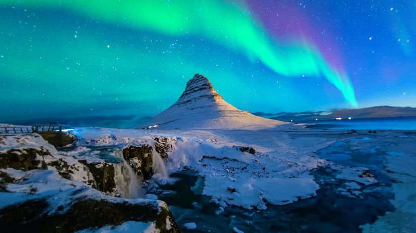
The boundary of the Arctic Circle is defined not by seas or landmasses but an arbitrary line of latitude that circles the North Pole, the northernmost point of Earth's axis. The Arctic Ocean takes up most of this area, but it also contains pieces of Canada, Russia, Finland, Denmark (Greenland), Norway, Sweden, the US (Alaska) and Iceland.
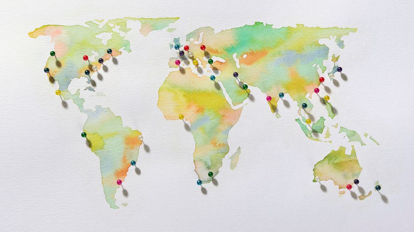
With 54 countries, Africa has the most sovereign nations of any continent. There are also a few disputed territories that don't make that list, including the partially recognized Sahrawi Arab Democratic Republic and the unrecognized de facto state, Somaliland. (Its independence has not been officially internationally recognized, but it does have control over the land it's claimed.)
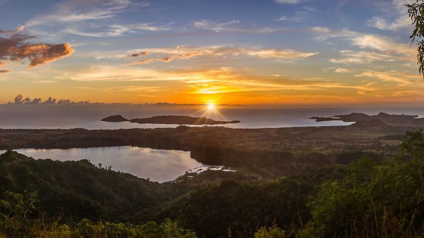
That's right; the Amazon Rainforest is one of the most vibrant ecosystems on the planet. With its trees serving as lungs for our planet, it's also one of the most vital to Earth's well-being. It's home to about 400 of each mammal, reptile and amphibian species, give or take a couple dozen.
Advertisement
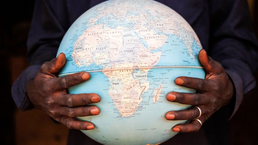
The Caucasus Mountains form the border between Europe and Asia, falling between the Black Sea and the Caspian Sea. The Serengeti is in Tanzania, Victoria Falls is on the border of Zambia and Zimbabwe, and the Sahara is located in North Africa across Egypt, Algeria, Libya, Mauritania, Chad, Mali, Niger, Western Sahara, Sudan, Tunisia and Morocco.
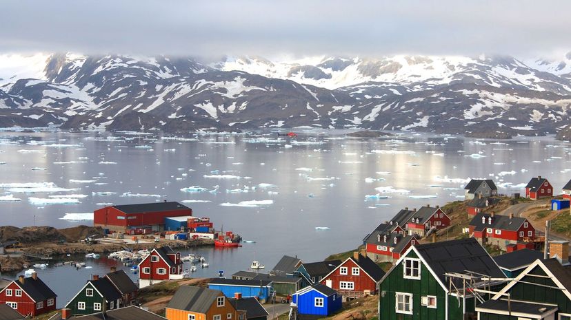
Glaciers form when snow stays in place year-round and eventually compresses into ice. This usually takes upwards of 100 years. Most of our planet's glaciers can be found in Greenland, Antarctica and Canada, but they also extend far from the Poles too, as long as the elevation is high enough. For example, there are African glaciers on Mount Kilimanjaro, Mount Kenya and the Rwenzori Mountains.
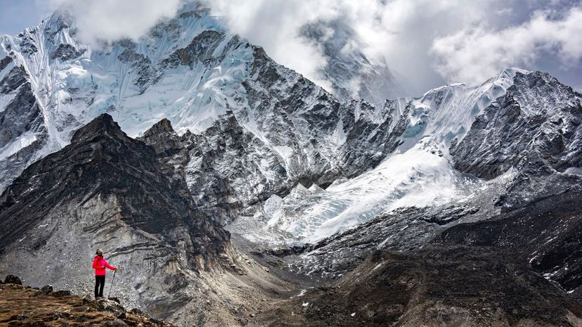
The Himalayan Mountain Range - famous for Mount Everest and other staggeringly high peaks - can be found in Asia between the Tibetan Plateau and the Indian subcontinent. It's made up of three parallel strands of ranges: the Greater Himalayas, the Lesser Himalayas and the Outer Himalayas.
Advertisement
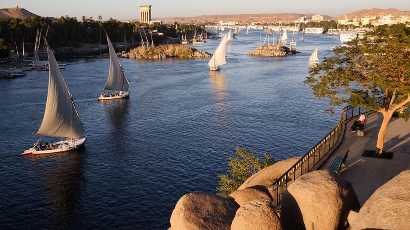
The Nile River - the longest river in the world - originates midway down the African continent and flows northward to empty into the Mediterranean Sea. Historically, its annual floods have dumped nutrient-rich sediments along the banks, creating arable farmland that provided the cornerstone of various civilizations.
Mexico is the 14th largest country by area. Russia tops the list at over 6.6 million square miles, followed by Canada, the US, China, Brazil, Australia, India, Argentina, Kazakhstan and Algeria.
Although "hot and sandy" is generally what comes to mind when we think of deserts, these geographical features are actually defined by the amount of precipitation they receive and their hostility towards supporting lifeforms. By the technical definition, Antarctica is our biggest desert. The Sahara in Africa is the biggest of the sandy-type ones.
Advertisement
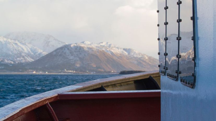
The Bering Strait runs between Alaska and Russia's Chukotka Penisula. It's just over 50 miles wide at its narrowest point. Over 11,000 years ago, however, the strait was a land bridge, and that's how humans arrived in the Americas.
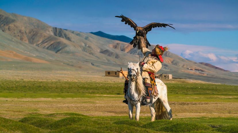
The Gobi Desert covers about 500,000 square miles of southern Mongolia and northern China. It's made of steppes, sands, mountains and dunes, and it's famous as the discovery site of important dinosaur remains.

With over 125,500 miles of coastline, Canada certainly has a lot of access to the ocean. That doesn't mean you'd necessarily want to go swimming in most of it though; the farther north you go, the colder it gets, all the way up to the frozen reaches of the Canadian Arctic.
Advertisement
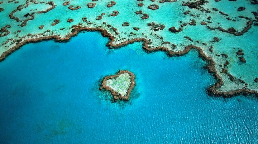
The Great Barrier Reef is the world's largest reef system and can be seen from outer space. It's a very popular tourist destination and is best accessible from towns in Queensland, Australia such as Cairns, Port Douglas and Townsville.
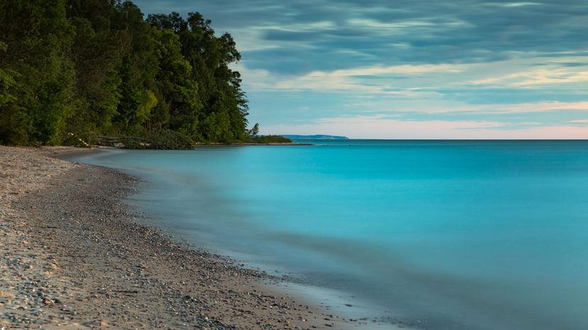
The Great Lakes, located between the US and Canada, are called Huron, Ontario, Michigan, Erie and Superior. (Many people find the acronym "HOMES" helpful for remembering them.) The largest is Lake Superior.
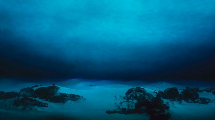
The Mariana Trench is the deepest trench in the world, stretching down over 36,000 feet below sea level. It can be found at the bottom of the Pacific Ocean off the coast of the Mariana Islands, which are east of the Philippines and southeast of Japan.
Advertisement
The Ring of Fire is a horseshoe-shaped (like an upside-down U) region bordering the Pacific Ocean, circling its tectonic plate starting from the Southern Hemisphere down by Australia, running up around Asia, and back down North then South America. It's known for its numerous active volcanoes and frequent earthquakes.
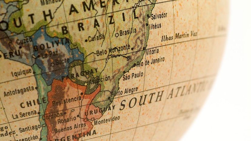
The awe-inspiring Andes run north to south along South America, passing through seven countries: Argentina, Bolivia, Chile, Colombia, Ecuador, Peru and Venezuela. They were essential to the economy and culture of the Inca Empire, as well as to other peoples of the past and present.
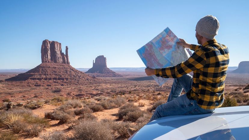
The Grand Canyon is located in Arizona, Death Valley is in California, and the Badlands are in South Dakota. Banff, on the other hand, is in Alberta, Canada. It's known for its spectacular array of natural features: glaciers, ice fields, mountains, hoodoos, caves and more.
Advertisement
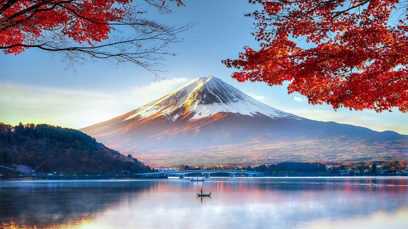
Mount Fuji is the tallest mountain in Japan and is actually made of three volcanos stacked on top of one another. It's still active, and the last time it erupted was in 1707. Mount Fuji and the surrounding areas were historically used as samurai training grounds.

Lake Titicaca is located high in the Andes (a South American mountain range), on the border of Peru and Bolivia. The Alps, on the other hand, pass through Italy, Switzerland, Monaco, France, Germany, Austria, Liechtenstein and Slovenia. The Cliffs of Moher are located in Ireland, and the Black Forest can be found in Germany.
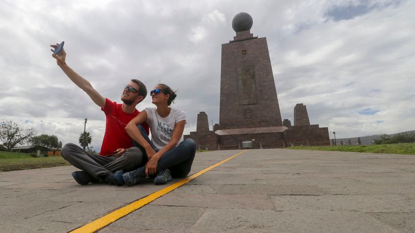
The Equator also passes through these other African countries: the Republic of the Congo (yep, that's a separate place), Uganda, Kenya, Sao Tome & Principe, Gabon and Somalia. In South America, it passes through Ecuador, Colombia and Brazil. In Asia and Oceania, it passes through the Maldives, Indonesia and Kiribati.
Advertisement
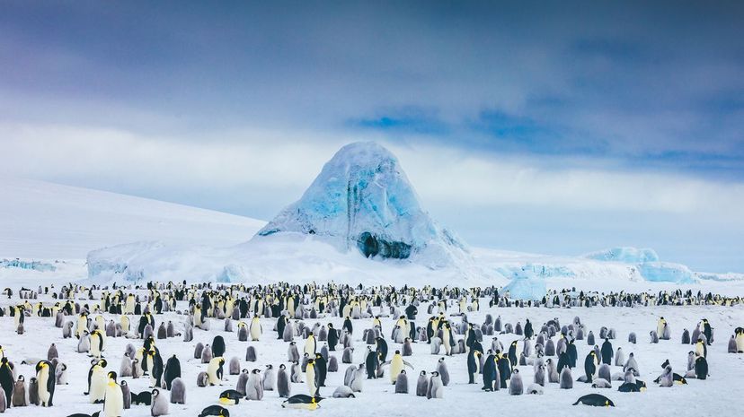
At about 5.4 million square miles, Antarctica is the third-smallest continent. (However, it has no permanent occupants that we know of, so it's by far the smallest in terms of population.) The other continents, in order from largest to smallest area, are Asia, Africa, North America, South America, Europe and Australia/Oceania.
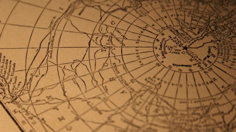
The five major circles of latitude, from north to south, are the Arctic Circle, the Tropic of Cancer, the Equator, the Tropic of Capricorn and the Antarctic Circle. The Bermuda Triangle is a nebulous region of the Atlantic Ocean (approximately between Florida, Puerto Rico and Bermuda) where many ships are said to have disappeared under mysterious circumstances.
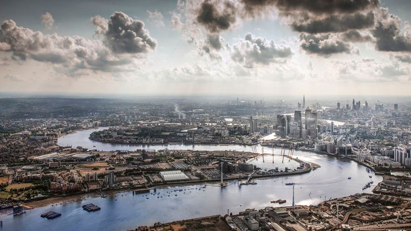
The Thames is about 215 miles long and runs through London, England. It's historically been at the center of the city's industry. It also flows through Oxford, Reading, Henley-on-Thames and Windsor.
Advertisement
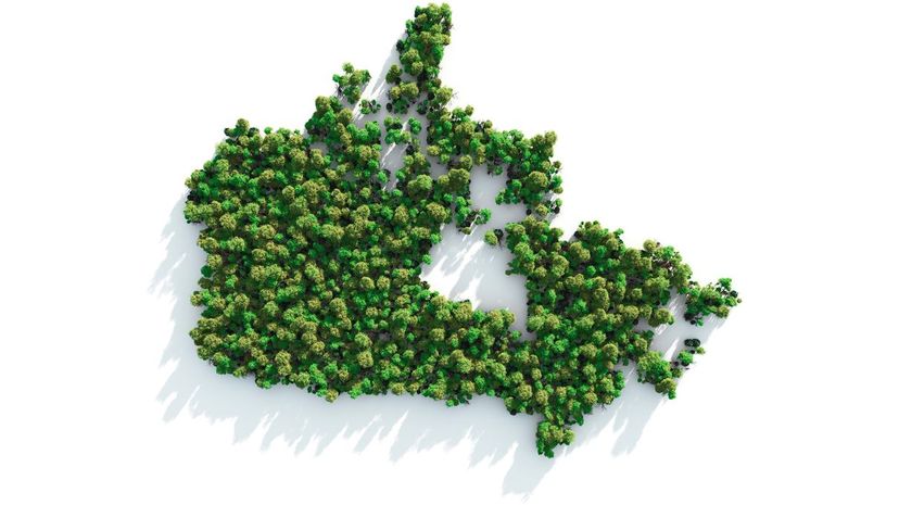
The Canadian Provinces are Nova Scotia, New Brunswick, Prince Edward Island, Newfoundland & Labrador, Quebec, Ontario, Saskatchewan, Manitoba, Alberta and British Columbia. There are also three vast territories in northern Canada: the Yukon, the Northwest Territories and Nunavut.
Vatican City is an autonomous nation (and the capital of said nation) located entirely within the city of Rome, Italy. It measures only 0.17 mi in area! Vatican City (also called the Holy See) is the seat of the Pope, the leader of the Catholic Church.

With over 1,200 people per square mile, New Jersey is the most populated state in the US, followed by Rhode Island, Massachusetts and Connecticut. The least densely populated state is Alaska, followed by Wyoming, Montana and North Dakota.
Advertisement
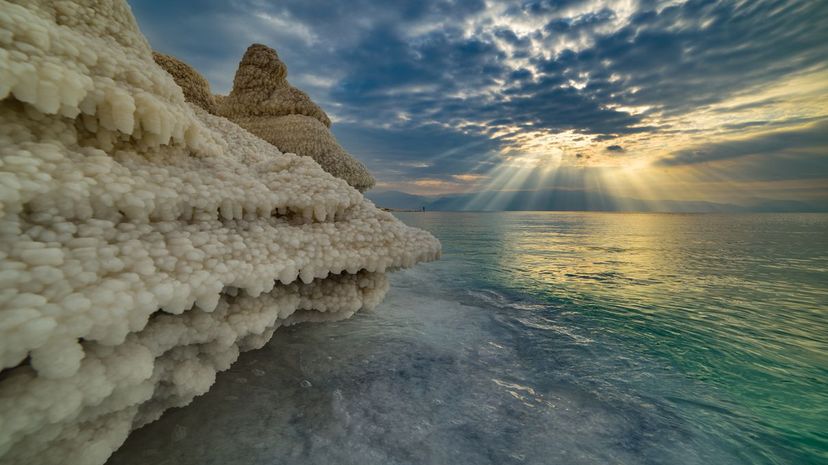
The Dead Sea can be found in the Middle East (Southwest Asia) between Israel and Jordan. It's famous for its ridiculously high salt content, which is hostile to most lifeforms. Exceptions include microorganisms such as certain types of fungi and bacteria. The shoreline around the Dead Sea is also the lowest exposed land on the face of the planet.
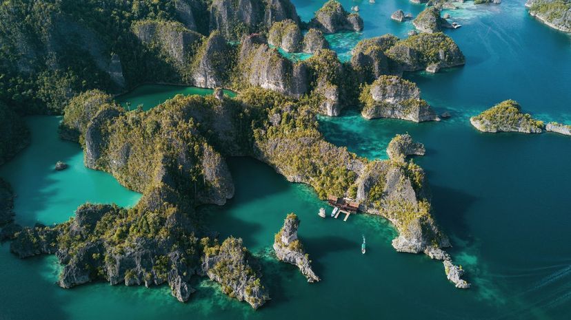
Deuteronomy is a book of the Bible. Loess is a type of yellowish-brown silt-like sediment deposit that covers about 10% of the earth's surface, and Pangea is the name given to the supercontinent that existed during the Paleozoic and Mesozoic Eras. (It broke up to form the continents we have today.) An archipelago is a group of islands.