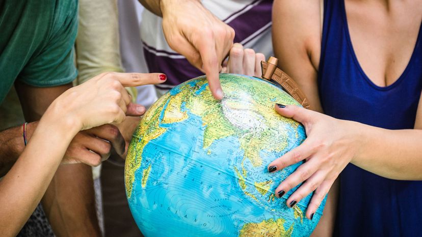
About This Quiz
It's something that people take for granted. They think they know much about the world, its continents, countries and capitals.Â
But what about mountain ranges, rivers and lakes? These also make up the subject of geography.Â
It truly is a fascinating subject. For instance, did you know that Mount Everest will easily fit into the deepest trench in the sea? In fact, Everest would need to be two kilometers taller than it currently is for the tip to stick out of the ocean! Now that's one deep trench. And you know its name right? Well, if you don't, this quiz will help you!
Do you know the northernmost human habitat in the world? I bet it's cold there! Can you tell which is the Antarctic and which is the Arctic? Or what is the purpose of the equator?
If you love questions like this, and with a few obscure country capitals thrown in, then you will love this quiz! But just how much do you think you will score on it?
Your aim should be at least 27 right! That will give you a passing grade in our book.
Let's see how you fare, shall we?
Take your time and good luck!
Australia is a continent. But it's an island, right, people argue. No, Greenland is an island and therefore not a continent but Australia is far too big to be an island and therefore becomes one of the earth's continents.
Jefferson City is indeed the capital of Missouri. Founded in 1821, it was incorporated in 1825. And who is it named after? Well, Thomas Jefferson no less. The city itself has a population of around 43,000 people.
London, the capital of England and home to over 8 million people sits at 51°30′N. Seattle, Washington, the birthplace of grunge music, sits at 47°37′N. Seattle is home to only around 750 000 people in the city itself.
Advertisement
Located in the Pacific Ocean, the Mariana Trench is south of Japan and west of the Philippines. The deepest point recorded and confirmed by scientists sits at 10,994 metres but there are believed to be deeper points. At this depth, the pressure is around 1,000 higher than at sea level. Interestingly, the trench is a U.S. National Monument.
This fault extends for around 750 miles through the state of California, including the city of Los Angeles. It's not a question of will it cause a massive earthquake but a case of when. The massive Los Angeles earthquake of 1906 was caused by this fault.
The world's largest ocean is the Pacific. It holds close to twice the amount of water as the Atlantic Ocean and covers an area of 63,800,000 square miles. Its deepest point is the Mariana trench at over 10,000 meters.
Advertisement
With a latitude of 0°, the equator is the imaginary line that splits the earth in two. It divides it into the northern and southern hemisphere. It is 24,901miles long and with close to 80% lying over the Earth's oceans.
It's easy to mix up the antarctic and the arctic and people do it all the time! The Arctic Circle is found in the northern hemisphere. An easy way to remember is that Antarctica in the south doesn't have Santa but does have penguins, while the arctic is the opposite!
Yes, Russia, Kazakhstan and Turkey have sections of their countries which actually fall under Europe. In fact, in Russia's case, the area that is considered to be part of Europe is 4 million square kilometers in size!
Advertisement
The capital of the United States, Washington is in the district of Columbia (hence the D.C. part) adjacent to the state of Maryland. The federal district of Washington D.C. takes in around 68.34 square miles and it was named after George Washington.
The Mississippi is the longest river in America. It measures 3,730 km and drains into the Gulf of Mexico. It is often referred to by its nickname, Old Man River.
Puerto Williams in Chile is the southernmost inhabited place on earth with over 1,000 residents. This port and milatry base is found on the island of Navarino Island in Beagle Bay. Founded in 1953, it was first named Puerto Luisa.
Advertisement
Aconcagua is found in the Andes mountain range in South America. It stands 6,960.8 meters tall. It is the highest peak found in both the southern and western hemisphere. Aconcagua is located in Argentina.
Walvisbaai, which translated means Whale Bay, is the major port city in the African country of Namibia. It was discovered by Portuguese sailors in the late 1400s and people have lived in the area from 1840 onward. This area was frequented by southern right whales and that is how the town received its name.
Situated in Siberia, Lake Baikal is the world's deepest lake. It is estimated that this lake is between 20 to 25 million years old. Interestingly, it is home to the Baikal seal, the only freshwater seal in the world.
Advertisement
It's actually French for Ivory Coast. The country is located in West Africa and gained independence from France on Aug. 7, 1960. Over 23 million people call the country home.
Savu is the capital of Fiji. It is the largest city on the island, with around 88,000 residents. Interestingly, Suva has been the capital of Fiji since 1877.
Previously known as South West Africa, Namibia was granted independence in 1990. Originally, this was a German colony but after World War II it was governed under the auspices of South Africa. Namibia is home to around 2.6 million people.
Advertisement
Mandarin is the most spoken language in the world today. And it makes sense, seeing that China is the most populated country in the world. Over 1.1 billion people speak Mandarin. The second most spoken language in the world is English, with just under 1 billion people speaking it.
The Kalahari is not the biggest desert in Africa but still stretches over an area of 350,000 square miles. It covers three countries in Southern Africa - Botswana, Namibia and South Africa. It is also home to the San, a people who have practiced hunter/gatherer techniques for millions of years.
Alert, part of the Nunavut province of Canada, is the northernmost place on Earth that has permanent inhabitants. In 2016, 62 people lived here, a mere 817 kilometers from the North Pole. It also has a number of temporary inhabitants, mainly from the military or research teams.
Advertisement
The continent of Asia is made up of 48 nations. Russia is the biggest country in Asia. The continent is 17,212,000 square miles in size.
Yes, Venice, the city of canals which is located in Italy, is closer to true north than New York City. Venice sits at 45°26′N while New York sits at 40°40′N.
There are just 12 nations making up South America. The biggest country found here is Brazil. This massive continent covers 6.89 square miles.
Advertisement
Africa consists of 54 nations. The newest is the Republic of South Sudan which came into being on July 9, 2011. The oldest nation is Ethiopia. Incredibly, it was founded in 980 B.C.
The capital of Kosovo and its administrative center, Pristina has a population of just over 200,000 people, mostly of Albanian descent. The area around the city has been inhabited by man for over 10,000 years.
This is one many people get wrong. A number of countries have their embassies in Tel Aviv, but Israel has seen Jerusalem as the capital for many years. It was formally recognized as the Israeli capital by American president, Donald Trump. Of course, this is a high political affair, with Jerusalem playing massive significance to the occupied Arab populations as well.
Advertisement
Yamoussoukro is now the capital of Cote d'Ivoire. It became the capital in 1983, taking over from Abidjan, which most people still think of as the capital. Abidjan remains the economic and administrative hub of the country, however.
Namibia is a huge country. It is around 825,615 km2 in size. And population wise, it has around 2.6 million people living in it. That means a low population to km2 ratio. And it is. It currently sits at 2.9 people per km2.
Europe has 50 recognized countries. Three of them, Russia, Kazakhstan and Turkey also form part of Asia just to confuse things a little! These are called transcontinental countries.
Advertisement
Another tricky one, this. Many people consider Lagos the capital of Nigeria. And it was, until 1991. That is when Abuja took over. Abuja itself is a relatively new city and was only built in the 1980's.
At 2,228 meters, Mount Kosciuszko is the highest mountain in Australia. It forms part of the Snowy mountain range and is found in the Kosciuszko National Park. Interestingly it was named by Polish explorer, Paweł Edmund Strzelecki.
Freetown is a port city which sits on the western side of the country on the Atlantic Ocean. It was founded in 1792 and currently has a population of over 1 million people.
Advertisement
Table Mountain overlooks the city of Cape Town in South Africa. This mountain, although only around 1,000 meters tall, is a significant landmark in the city and noted for its flat top.
Monaco is a very small country - just 0.61 km2 in size. It has a population of around 15,000 people. It seems low, but when coupled to how small the country is, it leads to a 25,718.1 people per km2 population density.