About This Quiz
A landform, in the broadest sense, is any feature of the Earth's surface. For this quiz, we're sticking to the naturally-occurring ones. They can be huge (think mountain ranges) or small (like a single rock formation.) They occur across regions and climates, from the frigid poles to the sweltering climes around the equator. There are desert landforms, coastal landforms and the landforms of the grassy plains. They range from the very broad to the infinitely specific, so the list of sub-types goes on and on.Â
Landforms are created by various processes of weathering, erosion, and movement of the earth's tectonic plates. Weathering occurs when rock is worn down over time. This can be via organic weathering (think plants breaking up sediments with their roots), mechanical weathering (think wind, flowing water, and processes of freezing and thawing) or chemical weathering (when sediments disintegrate due to chemical processes, like limestone dissolving and forming caves). Erosion is the process by which particles that have been weathered off are transported elsewhere and deposited to make new landforms. Tectonic activity is the movement of the giant plates that make up the outer shell of the earth's surface. When these plates (there are seven principal ones) rub up against each other or break apart, mountains, rift valleys and other major landforms are created.
So, are you ready to test your knowledge of the geology of the earth's surface? See if you can rock this quiz.
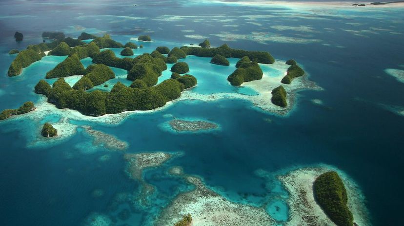
Examples of archipelagos include the Arctic Archipelago (which is located in the Arctic Sea and consists of all of the Canadian islands north of mainland Canada), the Galápagos Islands off the coast of Ecuador and the Florida Keys off the southern tip of Florida.
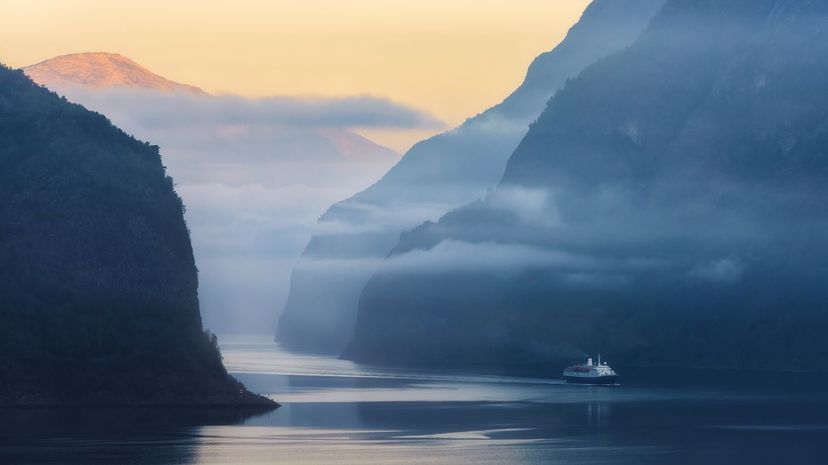
Fjords are cut into the bedrock by glaciers. The spectacular and numerous fjords along the coast of Norway are particularly famous. Still, you can find them around the world in Alaska, Canada, Greenland, Scotland, Iceland, Chile, New Zealand and beyond.
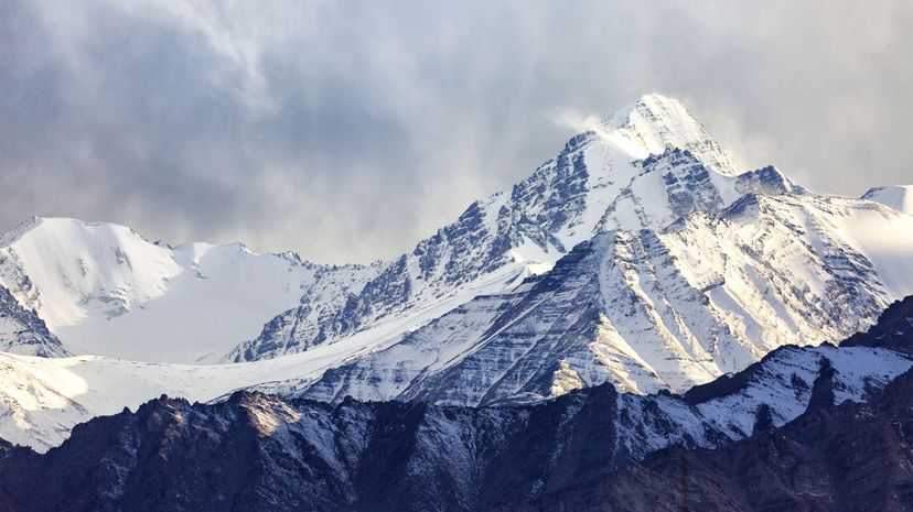
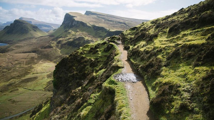
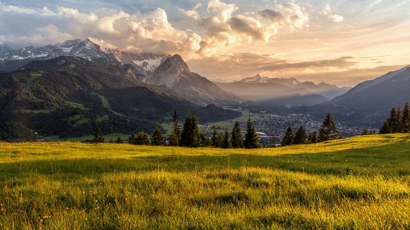
Mountains tend to be rocky and can have very steep sides. They form when the earth's tectonic plates converge or rub against one another, or else because of volcanic activity. The highest mountain on Earth is Mount Everest in the Himalayas, which rises 29,029 feet.
Advertisement
The word "batture" comes from the French verb "battre" (to beat), referring to the way the river beats the land. The term is often used in reference to the Mississippi River, whose battures have grown enormously over the past few centuries due to flooding.
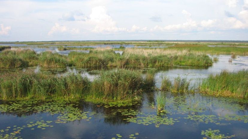
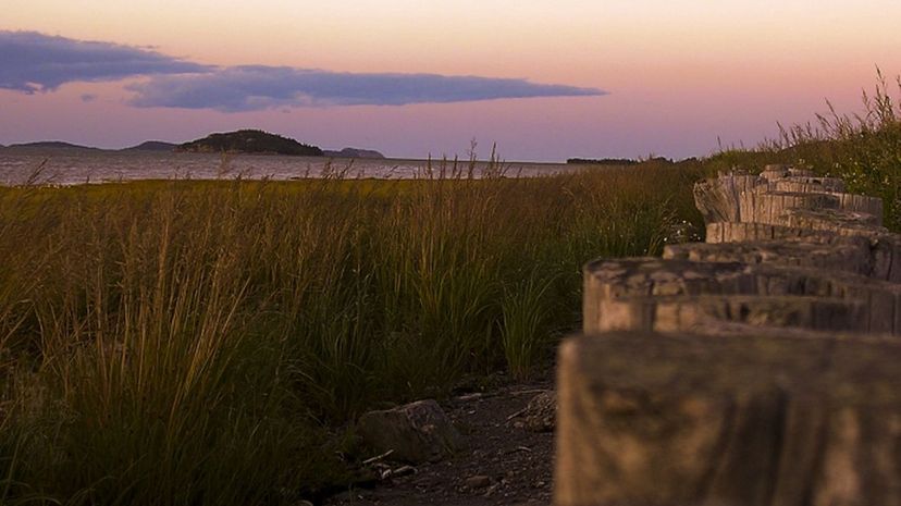
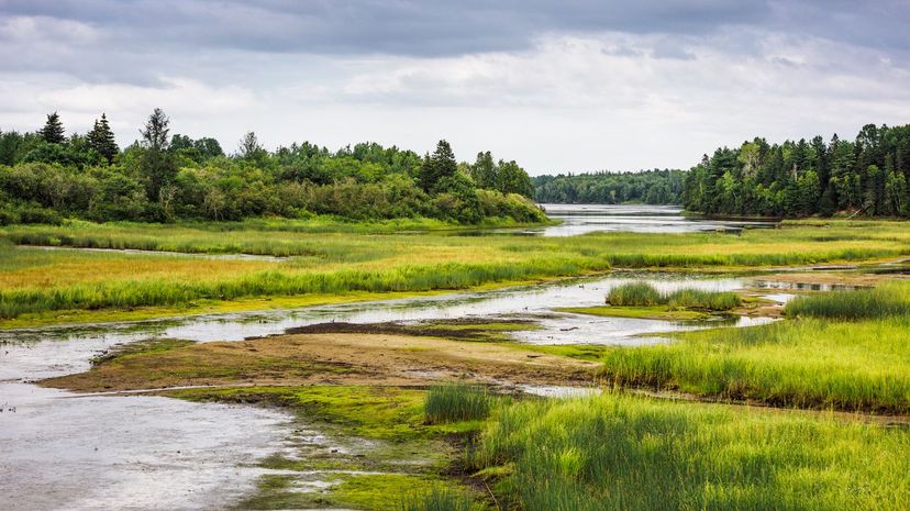
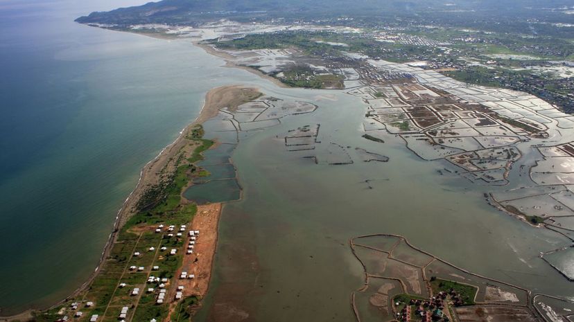
The main types of wetlands are swamps, bogs, marshes and fens. Some are saltwater, some are freshwater and some are a mixture of both. All support ecosystems very different from those inland or entirely underwater. Coastal wetlands are crucial barriers against flooding and erosion. Many of the planet's wetlands are disappearing due to climate change and rising sea levels.
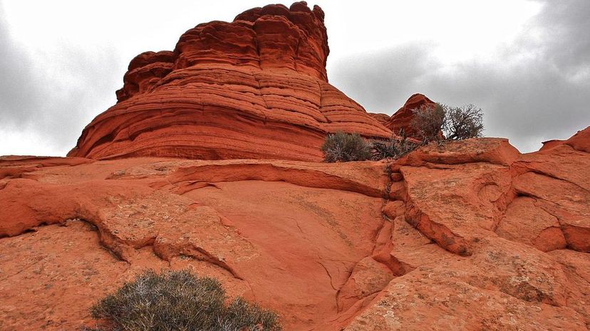
The American Southwest is known for its big, stunning buttes. (No joke intended. It's pronounced "byoot," y'all.) They're very similar to mesas, except buttes are usually taller than they are wide whereas mesas are wider. Mesas can be much larger in general.
Advertisement
Ridges come in various shapes and sizes. In terms of the other answer options, an isthmus is a narrow strip of land with water on two sides that connects two larger masses of land. A strath is a wide valley, and a plateau is a high, flat stretch of land.
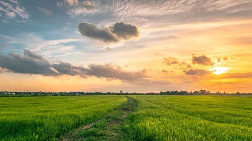
The National Geographic Society estimates that plains cover more than a third of the world's surface land area. Not to be confused with plateaus, which can be found at higher elevations, plains are usually lower than the land around them. (That being said, coastal plains might rise from sea level a bit before meeting higher-elevation landforms.)
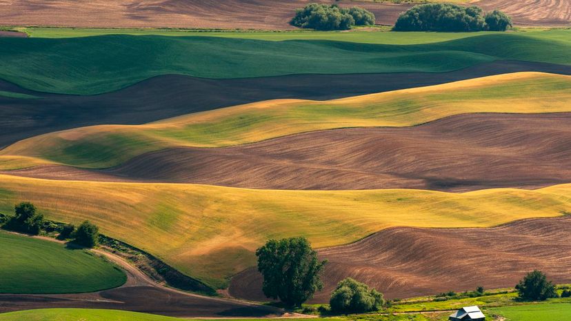
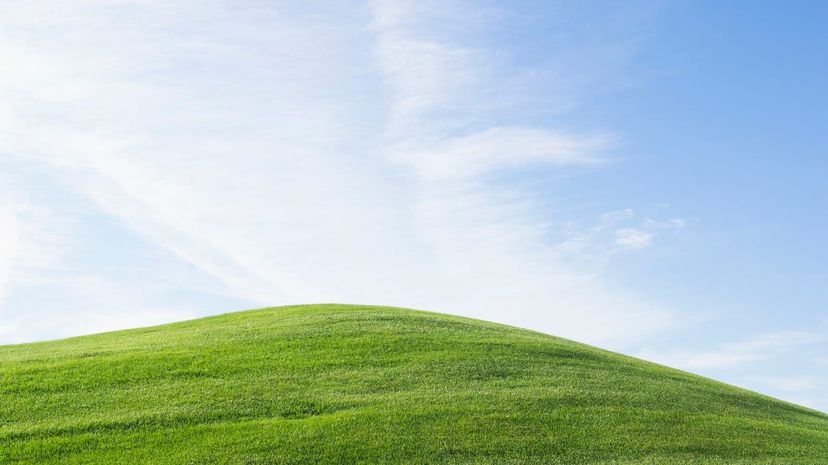
"Hill" is one of the broadest categories of landforms. They differ from mountains in terms of size, so the line between the two can be blurry. Man-made mounds are often dubbed "hills" as well, whether or not this is strictly accurate.
Advertisement
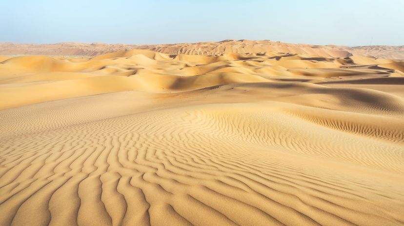
Although most deserts boast scorching temperatures, there are also polar deserts in the Arctic and Antarctica that are cold all year round. Like their hot, sandy cousins, polar deserts receive very little precipitation and can only support life particularly adapted to their extreme environments.
There are several types of valleys. V-shaped valleys were forged by rivers or streams, U-shaped valleys were formed by the movement of glaciers and flat-floored valleys are very old valleys of either variety that have widened over time. Rift valleys are the steep valleys that occur where the earth's crust is splitting apart.
Loesses cover much of Asia, Europe and North America. They're unstratified and young (geographically speaking), made primarily of silt-sized particles. They're often yellowish in color and tend to be very fertile and rich in nutrients.
Advertisement
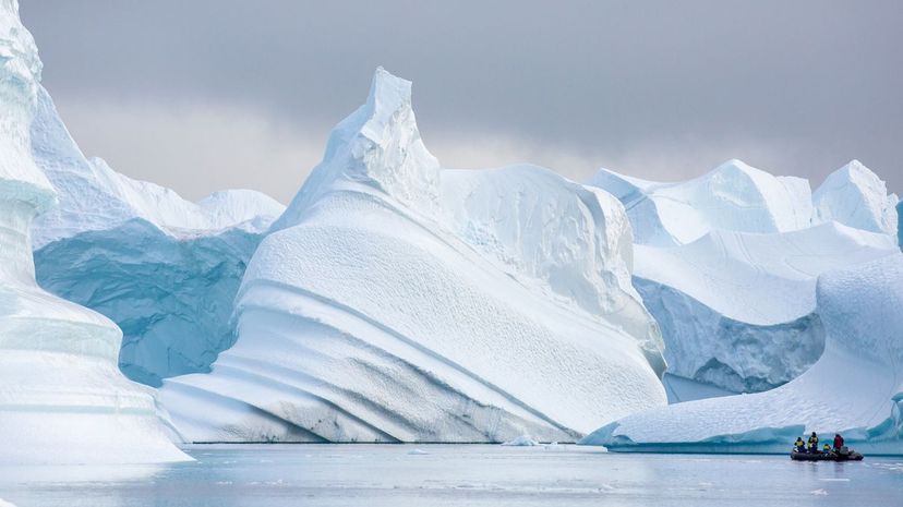
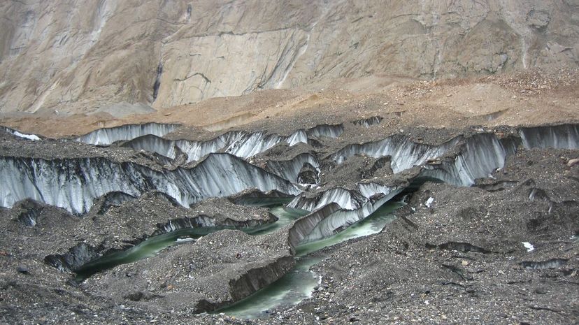
Most glaciers are found near the Earth's poles. Some can reach hundreds of kilometers in length. The National Snow & Ice Data Center (NSIDC) estimates that glaciers cover about 10% of the Earth's surface today, although global warming is hastening their disappearance.
The term derives from the Irish word "droimnín," which refers to mounds or small ridges. Drumlins are usually found in lowland regions, notably in Ireland, the American midwest and Canada. They're made of glacial till so their exact composition varies, but they contain various proportions of gravel, silt, clay and other particles.
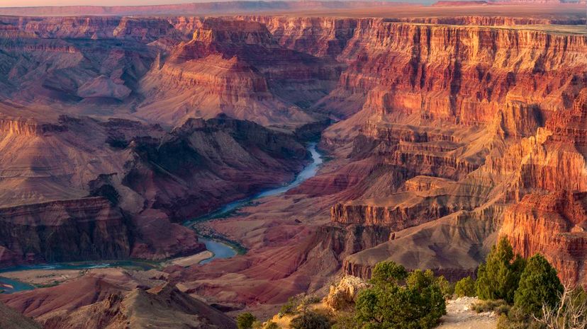
Canyons are often formed by rivers, whose motion over time cuts a deep channel into the earth. The Grand Canyon in Arizona is a famous example of a river canyon. Other types of canyons are formed by erosion, weathering and tectonic plate movement.
Advertisement
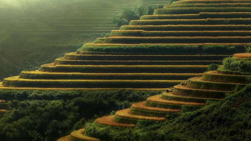
Geological terraces come in many varieties. To name a few, there are fluvial terraces which form in former floodplains, kame terraces which occur in glacial valleys and lacustrine terraces which are the shorelines of former lakes. Outside of geology, artificial terracing occurs when humans shape the sediments into a step-like form. (To increase arable land, for instance.)
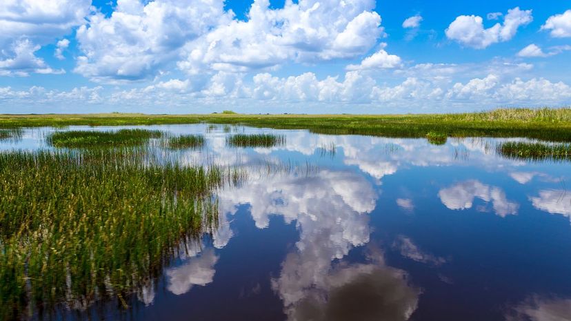
Each of the four broad categories of wetland (swamp, marsh, bog and fen) have their own characteristics. Swamps are dominated by woody plants, whereas marshes support softer-stemmed plants. Bogs and fens are both characterized by peat deposits; however, whereas bogs get nearly all of their moisture from precipitation, fens can be inundated by run-off and other sources, resulting in soils that are richer in nutrients.
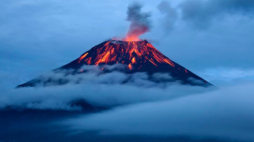
Volcanoes are ruptures in the crust of a planet or moon that vent hot gases and magma. Some well-known active volcanoes here on Earth include Vesuvius in Italy, Taal in the Philippines and Popocatépetl in Mexico.
Advertisement
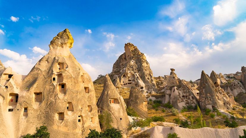
Hoodoos form from erosion and weathering processes over millions of years. Some of the most famous ones can be found in Bryce Canyon National Park in Utah. Somewhat confusingly, the term "hoodoo" also refers to a type of folk magic that blends West African and New World practices. Don't mix 'em up!
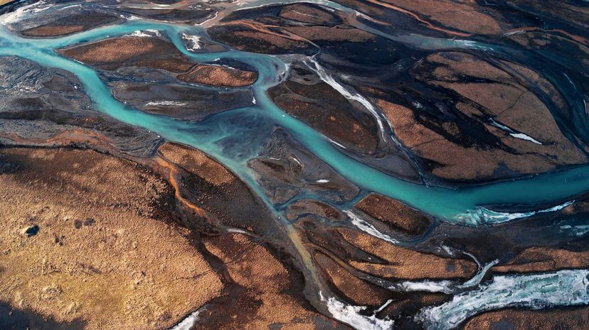
A delta is created at the mouth of a river, that is, where a river flows into a sea, lake or another comparatively stagnant body of water. It's composed of sediment carried and deposited by the flowing water. Due to their fertility, deltas have always been important to the development of human civilizations.
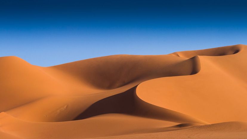
There are five main categories of dune shape: crescent, parabolic, linear, star and dome. You might find them in one of three forms: simple (isolated dunes of one particular type), compound (smaller dunes stacking up on larger dunes of the same type) or complex (combinations of different dune types).
Advertisement
The largest gulf in the world is the Gulf of Mexico, which is bordered by Mexico, the US and Cuba. Other notable world gulfs include the Persian Gulf and the Gulf of Aden, both extensions of the Arabian Sea.
Unlike a plain, a plateau is found at higher elevations and might have steep sides. Some types of plateaus are intermontane plateaus (which are bordered by mountains), volcanic plateaus (which are made of layered lava) and piedmont plateaus (which are bordered by mountains to one side and plains to another).
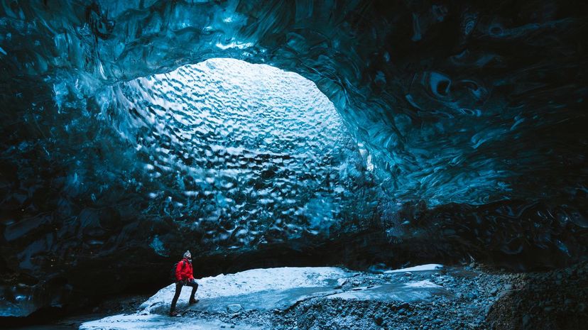
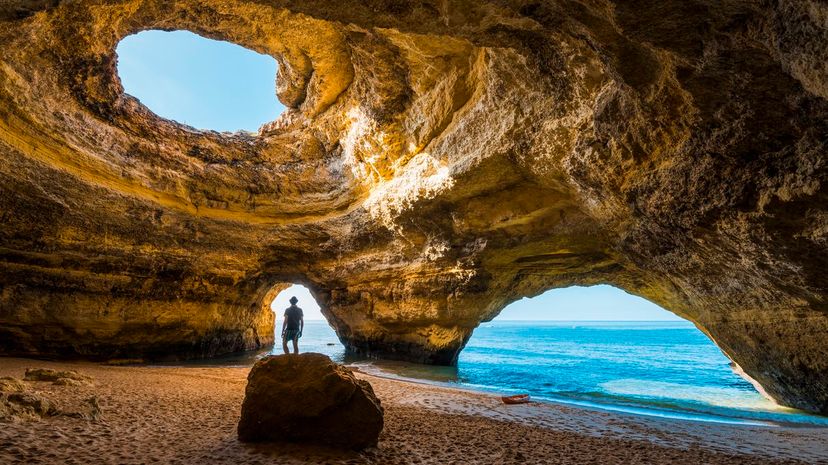
Caves can be formed by weathering and erosion. Limestone weakening and dissolving is a particularly prevalent cause. There are stunning caves of various sorts around the world such as the icy Eisriesenwelt in Austria, the Cave of the Crystals in Mexico and the massive Mulu Caves in Borneo.
Advertisement
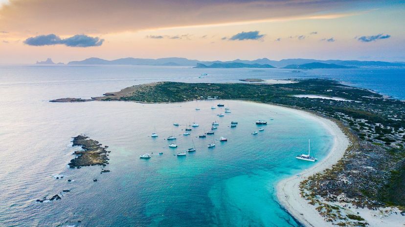
"Islet" is a somewhat vague term that just means "small island," small usually meaning too small to be habitable. They usually have little or no vegetation. Some types include sandbars, skerries, river islands, cays (or keys), motus and tidal islands.
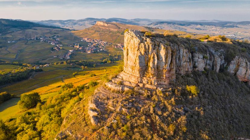
The sides of plateaus are escarpments, for example. They usually form either by the erosion of sediments or tectonic movement. Some examples include the Catskill Escarpment in New York, the Devil's Slide in California and much of the eastern side of the Sierra Nevada Mountain Range.
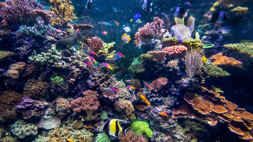
Although a reef can be made of rock (for instance), what most people think of when they think of reefs are coral reefs. These are made up of calcium carbonate and tiny invertebrates called corals or polyps.
Advertisement
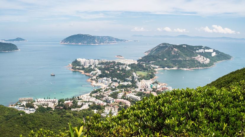
Not to be confused with an island (which is surrounded on all sides by water) or an isthmus (a narrow strip of land connecting two larger landmasses), a peninsula is *almost* an island. Peninsulas are a type of cape, which also juts out into the water by may only be surrounded by it on two sides. Examples include the Arabian Peninsula and much of the state of Florida.
Bogs (like fens, marshes and swamps) are characterized by saturated soils and vegetation particularly suited to such soils. As with fens, the acidic conditions in bogs produce peat, a brown deposit made of partially decomposed vegetation that can be burned as fuel.
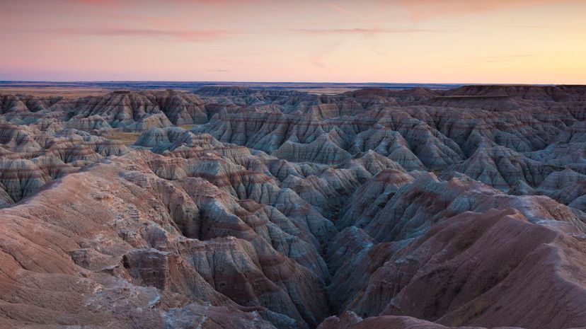
Many badlands are also deserts and vice versa. Badlands are defined by their rock formations (you might see hoodoos, mesas, buttes, canyons and more), whereas deserts are defined specifically by the amount of precipitation they receive and their lack of vegetation.
Advertisement
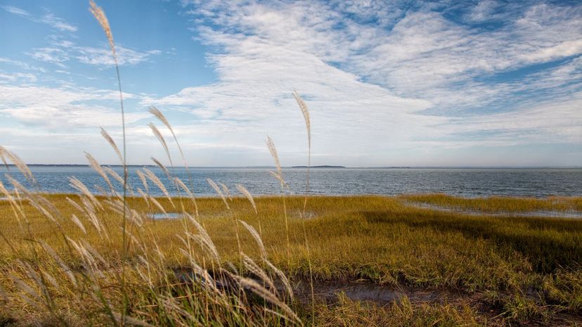
The largest coastal plains in North America are the Atlantic coastal plain and the Gulf coastal plain. The former starts in southern New York and extends 2,200 miles south to southern Florida. It's largely forested, and in some spots, it's over 60 miles wide. The latter starts in southern Florida and extends westward through Alabama, Mississippi, Louisiana, Texas and Mexico.
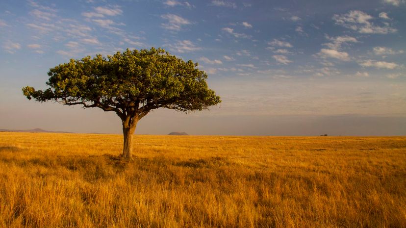
Almost half of Africa is covered in savanna, as are large areas of Australia, South America and India. Savannas usually occur between deserts and rainforests. They get roughly 20 to 50 inches of rain a year, most of which is concentrated in a rainy season.
Barrier islands are usually found in groups and occur notably on the eastern and southern coasts of North America. (Outer Barrier in Long Island, Hatteras Island in North Carolina and Grand Isle in Louisiana, to name just a few.) Their ecosystems can be very delicate as these landforms are hit hard with storms.
Advertisement
A knoll, like a hillock or a foothill, is a small hill. A butte, on the other hand, is a flat-topped rock formation. A scarp is a steep slope, and a cape is a piece of land that sticks out into the water, such as Cape Cod or the Cape of Good Hope.
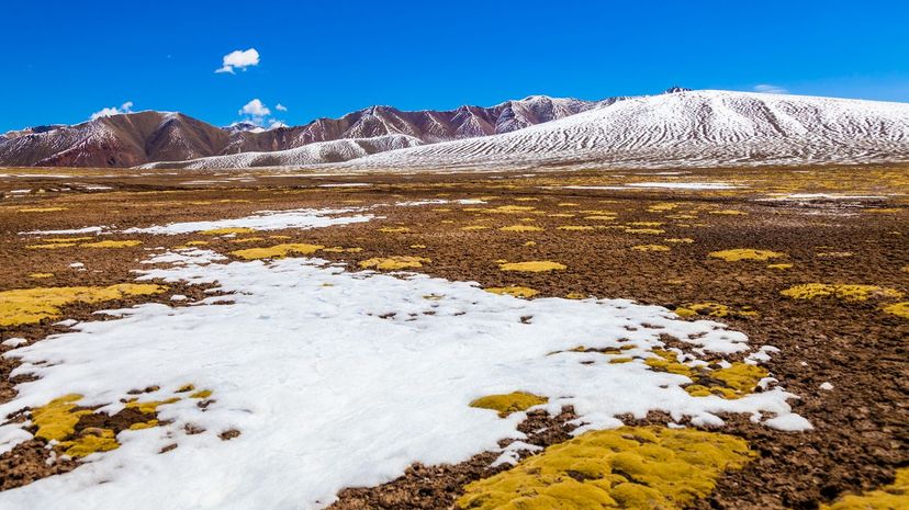
"Tundra" is a Russian term for a treeless upland area. Besides Russia, tundras can be found in polar places like Scandinavia, the Arctic, Canada and Antarctica. The landform is characterized by permafrost (a soil layer that's always frozen) underneath topsoil that continuously thaws and refreezes.